What's Being Built on Staten Island's Mid-Island & South Shore? A Stalled Seawall, an Offshore Wind Port on Hold & Warehouses on Arthur Kill Road
Hush Street tracks what's changing on Staten Island's Mid-Island and South Shore: a stalled $2.3 billion seawall, the Great Kills Park cleanup, Freshkills South Park, three new schools in Arrochar, an offshore wind port on hold and warehouses rising on Arthur Kill Road.
16
Projects Tracked
$2.3B
East Shore Seawall Cost (Staten Island Advance)
1.45M
Sq. Ft. of Warehouses Filed by NorthPoint
108
Houses Approved at Prince's Point
Oct. 2026
Updated
Watch →Seawall Contract TerminatedWind Port Stalled
By Hush Street Editorial
What’s Changing
→
The city and the National Park Service signed an agreement to fund the Great Kills Park radium cleanup.Oct. 2026
→
NYC Parks moved the Tottenville shoreline protection project into procurement.Oct. 2026
→
Construction began on Freshkills Park's South Park fields and landscape.Jul. 2026
Hush Street is tracking what’s being built on Staten Island’s Mid-Island and South Shore, from South Beach and New Dorp to Great Kills, Charleston and Tottenville.
These are the city’s lowest-density, most car-oriented districts, and almost all new housing here is one- and two-family houses; the largest current apartment filings are around 15 units. Much of Community Board 3 sits in a special district that requires City Planning review even for modest subdivisions and warehouses.
The biggest public stories are about the shoreline. The Army Corps of Engineers’ East Shore seawall, which the Staten Island Advance puts at $2.3 billion, stalled in 2026 after the Corps paused and then ended its first construction contract, while a new city-National Park Service agreement funds the radioactive cleanup at Great Kills Park that part of the project depends on. The private pipeline is concentrated on Arthur Kill Road, where former oil-tank and industrial land is turning into warehouses and a planned offshore wind port has not broken ground.
Where DOB records and press reports disagree on sizes or uses, both are given. A permit is not treated as proof that construction has started.
Developer/ApplicantU.S. Army Corps of Engineers with New York State and the City of New York
ProjectA coastal storm protection project with a 4.3-mile seawall and promenade, about a mile of levees and floodwalls, a deployable barrier at Hylan Boulevard and more than 180 acres of drainage ponds (National Park Service). The Staten Island Advance puts the overall cost at $2.3 billion.
StatusStalled
Latest UpdateThe Corps put its only awarded construction contract, $133 million for drainage work at South Beach, on hold in May 2026. The Advance reported in June that the Corps then ended Triumph Construction’s contract after a drill-rig safety incident. Design of the other sections continues.
The First Contract Was for Drainage, Not the Wall
According to the Corps, the paused contract covers interior drainage (detention basins and culverts) rather than the seawall itself. The levee section near Great Kills depends on the park cleanup in the next card.
Developer/ApplicantNational Park Service, funded by the City of New York
ProjectRemoval of Radium-226 contamination across more than 200 acres of the park, which must happen before the seawall’s levee and tide-gate work nearby (SILive, National Park Service).
StatusFunded
Latest UpdateThe city and the National Park Service signed a funding and implementation agreement in October 2026, the Advance reported. No cost or start date has been published.
A Cleanup the Seawall Needs
The park is part of the Gateway National Recreation Area.
Developer/ApplicantNYC Parks with New York State’s Governor’s Office of Storm Recovery
ProjectAn earthen berm, a hybrid dune system and an eco-revetment along the Raritan Bay shoreline, the onshore companion to the Living Breakwaters built offshore in 2024 (NYS Homes and Community Renewal, AKRF).
StatusIn Procurement
Latest UpdateNYC Parks finished the design in March 2025 and moved the project into procurement in October 2026, projected to run to October 2027. No construction start date has been set.
Behind the Breakwaters
Rebuild by Design had said the shoreline work would follow the breakwaters’ completion in fall 2024.
Developer/ApplicantNYC Parks, with the Freshkills Park Alliance
ProjectSynthetic-turf fields, roads, parking, paths, lighting and woodland and wetland restoration on the former landfill, plus a separate restroom building with a green roof (NYC Parks).
StatusUnder Construction
Latest UpdateNYC Parks reports the $28.5 million fields and landscape contract under construction since July 2026, projected to finish in July 2028. A $5.9 million restroom contract was awarded in July, the Advance reported.
A Decade After the Commitment
The city committed $30 million to South Park in 2016, according to the Freshkills Park Alliance. East Park and the park’s road system are still in planning.
Developer/ApplicantNYC School Construction Authority
ProjectThree new public schools on the former St. John Villa Academy campus, in two five-story buildings of about 185,000 and 100,000 square feet, with an athletic field and about 700 bleacher seats (SCA, DOB). The Advance reported nearly 2,000 seats in all.
StatusSite Work Under Way
Latest UpdateDOB issued foundation, structural and plumbing permits for site preparation between April and August 2026. The two school buildings’ plans are approved, but their construction permits have not been issued.
Schools Due in 2029 and 2030
The Advance reported completion targets of 2029 and 2030 for the schools.
Developer/Applicant950 W. Fingerboard LLC (DOB owner of record)
ProjectTwo two-story buildings, a school of about 44,000 square feet and a dormitory of about 47,000 square feet, on the former Advance headquarters site (DOB). The Advance reported in 2023 that a Bobov-affiliated yeshiva planned a school for about 250 students.
StatusUnder Construction
Latest UpdateBoth buildings are permitted, and DOB inspections in 2025 and 2026 recorded active construction. DOB issued violations after a September 2026 incident at the dormitory; no stop-work order was found.
A School on the Old Newspaper Site
How the project obtained its zoning relief has not been confirmed.
Sources: Staten Island Advance (SILive) (Feb. 2023); NYC DOB NOW jobs S00875048-I1 and S08039161-I1, and ECB records (Oct. 2026)
8
South Beach Psychiatric Center Residence
South Beach Psychiatric Center Residence, via Google Street View. —
Imagery: Google Street View
Developer/ApplicantNew York State Office of Mental Health
ProjectA 51-unit single-room-occupancy residence for adults with serious mental illness on one acre of the 51-acre campus (SILive, OMH).
StatusProposed
Latest UpdateOMH issued a request for proposals for a provider; the award expected in January had not been announced as of June 2026, the Advance reported.
No Plans for the Rest of the Campus
OMH told the Advance it has no plans to develop other campus land.
Developer/ApplicantNYC HPD (Resilient Housing and Open Space program) with Urban Ecospaces
ProjectElevated affordable homes on lots bought out after Hurricane Sandy. The city’s pipeline map lists a 20-unit project at 66 Topping Street; Urban Ecospaces describes 44 homes on 29 lots in Midland Beach and South Beach. How the two relate is not confirmed.
StatusApproved
Latest UpdateThe city’s affordable-housing map lists the 66 Topping Street project as past public approval, the Advance reported in August 2026. No DOB filing for it has been found.
Housing Back on Buyout Land
City Planning approved HPD’s acquisition of 54 scattered one- and two-family properties in the district in 2019.
ProjectA port of about 32 acres for staging and assembling offshore wind turbines (AKRF, ZAP).
StatusStalled
Latest UpdateCity approvals were completed in 2024, but the port has not broken ground. The Advance reported in December 2025 that it lost $48 million in federal funding after the federal offshore wind freeze, and that a groundbreaking timeline was unclear. Its DOB application is still in objections.
A Wind Port Without Wind Projects
A federal court later struck down the offshore wind permitting halt, the Advance reported.
ProjectThree one-story warehouses totaling 1.45 million square feet plus an open industrial yard of about 50 acres on the waterfront (ZAP).
StatusFiled (City Planning)
Latest UpdateThe application is filed with City Planning but not yet certified for public review; its latest milestone was on Sept. 28, 2026 (ZAP 2024R0425). DOB approved a brownfield soil-removal job in 2024.
The Area's Largest Private Project
NorthPoint bought the site from Kinder Morgan for $85 million in 2020, The Real Deal reported.
Developer/ApplicantEverWest Real Estate Investors (owner of record EW Direct 1 Nassau LLC)
ProjectA one-story logistics warehouse of about 332,000 square feet (DOB).
StatusTopped Out
Latest UpdateDOB inspection records describe the building as topped out in November 2025. A rooftop solar permit was issued in June 2026 and the construction permit was renewed on Oct. 19. No certificate of occupancy or tenant has been found.
Warehouses Replace Industrial Land
It is one of several large warehouses on the Arthur Kill Road corridor.
Sources: NYC DOB NOW permits (BIN 5127083) (Oct. 2026); NYC DOB/ECB inspection records (BIN 5127083) (Nov. 2025)
13
2807 Arthur Kill Road Warehouse
2807 Arthur Kill Road Warehouse, via Google Street View. —
Imagery: Google Street View
Developer/Applicant2777 Arthur Kill Road LLC (seller)
ProjectA 136,346-square-foot warehouse on eight acres, finished in 2025 (ROI-NJ). YIMBY reported a four-story, 304,000-square-foot plan for the site in 2017.
StatusCompleted
Latest UpdateROI-NJ reported that the building was sold in August 2026 to a client of Metz Industrial Group in the entertainment and logistics business; the price was not disclosed.
Smaller Than First Planned
City property records list the building on the lot.
Sources: ROI-NJ (Sept. 2026); New York YIMBY (Jan. 2017); NYC PLUTO, BBL 5071677501 (accessed Oct. 2026)
14
30 Page Avenue Warehouse
30 Page Avenue Warehouse, via Google Street View. —
Imagery: Google Street View
Developer/ApplicantRichmond Valley Rd LLC (DOB owner of record)
ProjectA four-story building that DOB filings describe as a transient hotel with an ambulatory care facility and 46 units. Borough President Vito Fossella’s office describes the plan as a 160-bed shelter for single adult men.
StatusOn Hold
Latest UpdateDOB placed the building’s structural, foundation and other filings on administrative hold on June 25, 2026. In July, the Borough President filed a land-use application to end the zoning exemption that allows shelters in manufacturing districts (Borough President’s office).
A Shelter Fight in Charleston
The lot is still vacant. The Borough President’s office said the plan had been dropped under Mayor Adams and revived under Mayor Mamdani.
Developer/ApplicantPMBL LLC; KDC of Staten Island (house filings)
Project108 detached single-family homes on new mapped streets on the Prince’s Bay waterfront (ZAP).
StatusApproved
Latest UpdateLand-use approvals were completed in July 2025 (ZAP 2022R0249). The individual house filings, made in December 2023, are still in DOB plan review.
The Area's Largest Housing Plan Is All Houses
The project needed a city map change and South Richmond special district approvals.
A new contractor or schedule for the East Shore seawall, a start date for the Great Kills Park cleanup, construction permits for the St. John Villa schools, City Planning certification of NorthPoint’s warehouses, the land-use fight over the Charleston shelter and any groundbreaking at the Arthur Kill Terminal are next.
Hush Street also tracks Staten Island’s North Shore and West Shore separately.
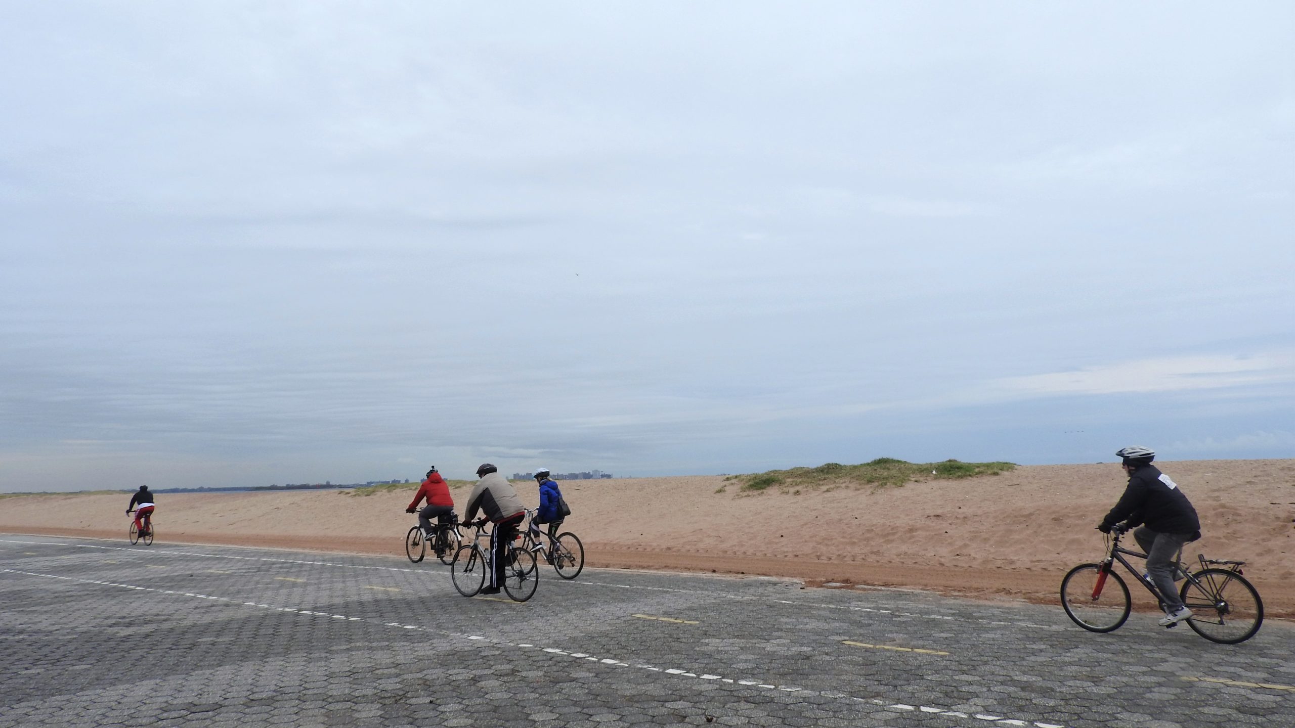
Header photo: the boardwalk at Midland Beach on Staten Island’s East Shore, 2019, by Jim.henderson, via Wikimedia Commons, CC BY-SA 4.0.