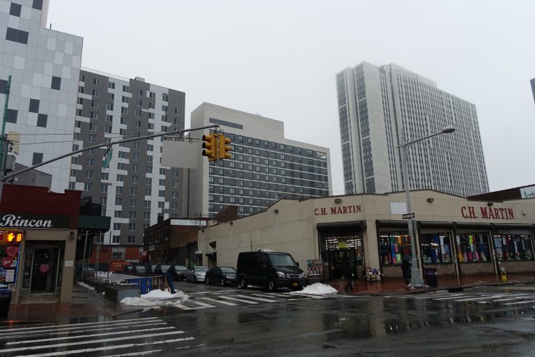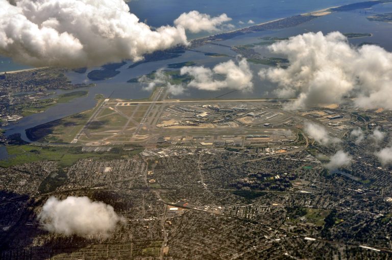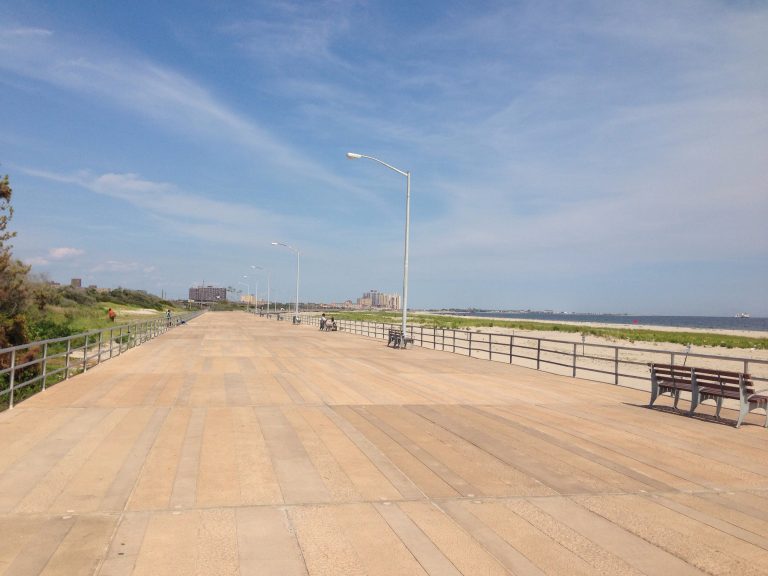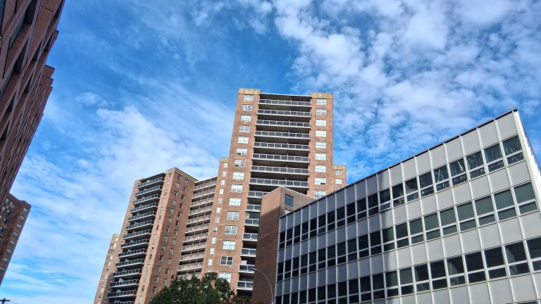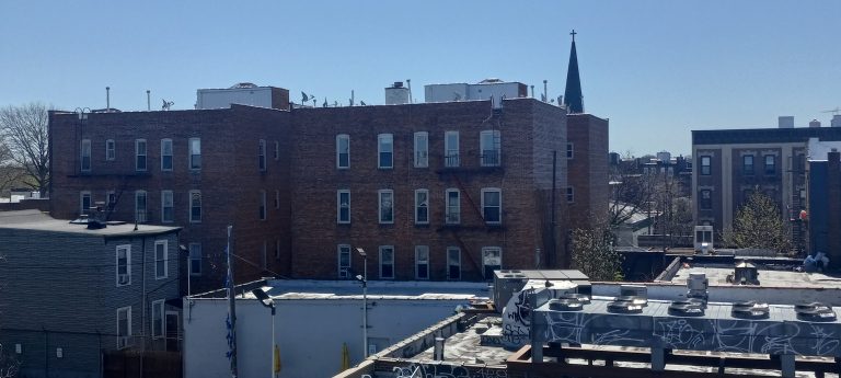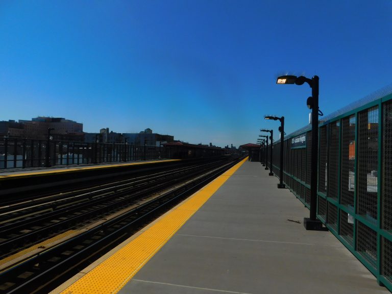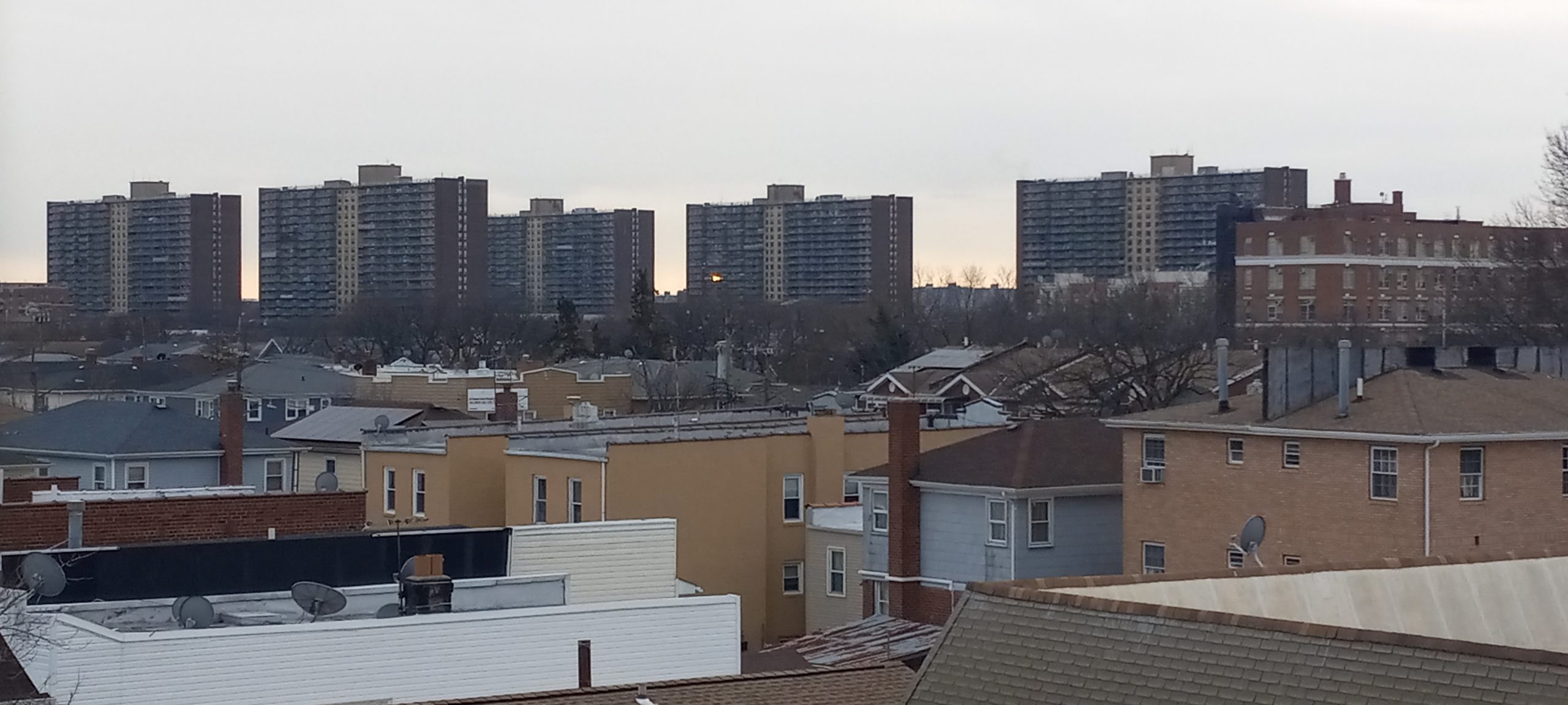
Rooftops and apartment towers seen from the 80th Street subway station in Ozone Park
Development Tracker — South Queens

What's Being Built in Richmond Hill, Ozone Park & Howard Beach? A Casino Expansion at Aqueduct, the Jewel Streets Plan & a Flood Study for Hamilton Beach

Hush Street tracks what's changing in Richmond Hill, Ozone Park, Lindenwood and Howard Beach: Resorts World's expansion and the Aqueduct site's future, the Jewel Streets plan and two approved rezonings, Jamaica Hospital's new emergency department and Howard Beach's flood study.
12
Projects Tracked
~100
Acres of Aqueduct Land Being Planned
~540
Apartments in 2026 Lindenwood Rezonings
3
Under Construction
Oct. 2026
Updated
Watch → Hamilton Beach Buyouts Proposed Casino Work on State Land
What’s Changing
→
Jamaica Hospital opened the first phase of its emergency department expansion.Oct. 2026
→
City Council review of the 135-27 Sapphire Street rezoning closed with approval.Oct. 2026
→
The Army Corps released a draft flood study proposing Hamilton Beach buyouts.Sep. 2026
Under Construction3
Approved3
Filed2
In Planning or Study4
See full project list →

Hush Street is tracking what’s being built in Richmond Hill, Ozone Park, Woodhaven, Lindenwood and Howard Beach.

South Queens is mostly low-rise and changes slowly, so its biggest projects are concentrated in two places. At Aqueduct, Resorts World New York City won state approval for a full casino in December 2025 and in July 2026 began the next phase of an expansion that includes a second hotel tower and a 7,000-seat arena, the New York Post reported. Next door, horse racing has ended and the state is drawing up a plan for about 100 acres of its land.

In Lindenwood’s low-lying Jewel Streets, the city’s neighborhood plan calls for new sewers and up to 5,000 homes, and the City Council approved two private rezonings in 2026 for about 540 apartments. Along Jamaica Avenue, Jamaica Hospital opened the first phase of its emergency department expansion in October 2026. In Howard Beach, flooding dominates: an Army Corps draft study released in September proposes voluntary buyouts in Hamilton Beach as a first step.

Where DOB records and press reports disagree on sizes, costs or dates, both are given. A permit is not treated as proof that construction has started.

Project Location Status
1Resorts World New York City Expansion Rockaway Blvd. at Aqueduct Under Construction
2Aqueduct Racetrack Site Rockaway Blvd. & North Conduit Ave. In Planning
3Jewel Streets Neighborhood Plan Ruby, Emerald & Sapphire Sts. In Planning
478-08 Linden Boulevard Rezoning Linden Blvd., Lindenwood Rezoning Approved
5135-27 Sapphire Street Rezoning Sapphire St., Lindenwood Rezoning Approved
6133-39 Ruby Street & 133-40 Emerald Street Ruby & Emerald Sts. Filed (Plan Review)
7Jamaica Hospital Emergency Department Van Wyck Expwy. at 89th Ave. Under Construction
8New School at 120-30 Jamaica Avenue Jamaica Ave. at 121st St. Approved
9118-08 Jamaica Avenue Jamaica Ave. near Lefferts Blvd. Under Construction
10114-20 Jamaica Avenue Jamaica Ave. at 114th St. Filed (Plan Review)
11Spring Creek South Flood Study Howard Beach & Hamilton Beach Draft Study
12163-01 Cross Bay Boulevard Rezoning (Russo's on the Bay) Cross Bay Blvd. at Shellbank Basin Pre-Certification

Aqueduct

A casino resort growing on state land, and the old racetrack’s future up for planning.

1

Resorts World New York City Expansion

Google Street View of Resorts World New York City, 110-00 Rockaway Boulevard, Queens, NY
Resorts World New York City Expansion, via Google Street View. — Imagery: Google Street View
Developer/ApplicantGenting Americas (Resorts World New York City)
ProjectAn expansion of the casino at the former Aqueduct grandstand into a full resort, including a second 400-room Hyatt tower, a Crockfords hotel and a 7,000-seat arena (New York Post). The New York Post reported a roughly $5 billion plan; the company describes $5.5 billion of physical investment within a $7.5 billion proposal.
StatusUnder Construction
Latest UpdateThe state’s casino siting board approved the bid on Dec. 1, 2025 (Resorts World), live table games opened in April 2026, and the company launched the next construction phase on July 22, 2026 (New York Post).

A Casino on State Land

The license fee is given as $600 million by the company and $500 million by the New York Post. Because the site is state land, the work does not appear in city building records; milestones here come from the company and press.

Sources: New York Post (July 2026); Resorts World New York City (Dec. 2025); amNewYork (May 2026)

2

Aqueduct Racetrack Site

Google Maps of Aqueduct Racetrack, Queens, NY
The Aqueduct racetrack grounds, via Google Maps. — Imagery: Google Maps
Address/LocationAqueduct Racetrack
Developer/ApplicantEmpire State Development
ProjectA master plan for about 100 acres of state land at Aqueduct, now that racing has moved to the rebuilt Belmont Park; options include housing, retail, community facilities and open space (amNewYork).
StatusIn Planning
Latest UpdateGov. Kathy Hochul launched the planning process on May 5, 2026, with workshops through the end of 2026 and a master plan expected in early 2027. Environmental review, approvals and a request for proposals would follow before any construction (amNewYork).

After the Last Race

The New York Racing Association says live racing has ended at Aqueduct.

Sources: amNewYork (May 2026); Empire State Development; New York Racing Association

Lindenwood & the Jewel Streets

A city plan to fix flooding and add housing in ‘The Hole,’ with two rezonings already approved.

3

Jewel Streets Neighborhood Plan

Google Maps of Sapphire Street and Linden Boulevard, Queens, NY
The Jewel Streets area on the Queens-Brooklyn line, via Google Maps. — Imagery: Google Maps
Address/LocationJewel Streets area, south of Linden Boulevard, on the Queens-Brooklyn line
Developer/ApplicantNYC Department of Housing Preservation and Development, with DEP, DOT and DDC
ProjectA plan for the low-lying area known as ‘The Hole’ calling for up to 5,000 homes, about 3,600 through an area-wide rezoning and up to 1,400 on a 17-acre city-owned site, plus new sewers, a pump station and bluebelts (Mayor’s Office). The area straddles Queens and Brooklyn’s East New York.
StatusIn Planning
Latest UpdateThe city released the final plan on Oct. 21, 2025, with over $146 million in infrastructure and the area-wide rezoning’s public review expected to begin in 2026 (Mayor’s Office).

Fixing 'The Hole'

The city first announced about $75 million for the area’s infrastructure in 2023, Gothamist reported; the 2025 plan raised that to over $146 million. Which side of the borough line the 17-acre city site is on has not been confirmed.

Sources: NYC Mayor's Office (Oct. 2025); NYC HPD; Gothamist (June 2023)

4

78-08 Linden Boulevard Rezoning

Google Street View of 78-08 Linden Boulevard, Queens, NY
78-08 Linden Boulevard Rezoning, via Google Street View. — Imagery: Google Street View
Address/Location78-08 Linden Boulevard
Developer/ApplicantLinden Canyon LLC
ProjectAffordable and senior housing on a shopping-center site. City Planning’s description is one 11-story building with 273 apartments; the Queens Chronicle reported two buildings of six and 12 stories with 267 income-restricted apartments, 97 of them for seniors, financed by HPD as 100 percent affordable.
StatusRezoning Approved
Latest UpdateThe City Council approved the rezoning after a Feb. 3, 2026 hearing, where the applicant said it was in line for HPD financing (Queens Chronicle; ZAP). No building application has been filed.

A Walgreens Lot Becomes Housing

It is on the same block as the 135-27 Sapphire Street site.

Sources: NYC Planning ZAP 2022Q0154; Queens Chronicle (Feb. 2026)

5

135-27 Sapphire Street Rezoning

Google Street View of 135-27 Sapphire Street, Queens, NY
135-27 Sapphire Street Rezoning, via Google Street View. — Imagery: Google Street View
Address/Location135-27 Sapphire Street
Developer/ApplicantSam Zirkiev (135 Sapphire LLC); Dan Russo (architect)
ProjectA six-story, 65-foot rental building with 268 apartments, 67 of them income-restricted, and a 118-car garage on a vacant lot (ZAP, YIMBY).
StatusRezoning Approved
Latest UpdateCity Council review ran from Sept. 22 to Oct. 22, 2026, and City Planning’s records now list the rezoning as approved (ZAP). YIMBY published a new rendering in September and described the site as rezoned in June. No building application has been filed.

A Garage in a Flood Zone

The design is meant to work with the city’s plan to raise Sapphire Street, YIMBY reported.

Sources: NYC Planning ZAP 2024Q0219; New York YIMBY (Sept. 2026)

6

133-39 Ruby Street & 133-40 Emerald Street

Google Street View of 133-39 Ruby Street, Queens, NY
133-39 Ruby Street & 133-40 Emerald Street, via Google Street View. — Imagery: Google Street View
Address/Location133-39 Ruby Street, with 133-40 Emerald Street
Developer/ApplicantMSH Equities
ProjectTwo four-story residential buildings with 70 and 63 apartments, 133 in all, on vacant lots inside the Jewel Streets plan area (DOB).
StatusFiled (Plan Review)
Latest UpdateBoth new-building applications, filed in November 2025, are still in DOB objections.

Building Before the Plan

DOB issued closure orders on the lots in July 2025 after finding people living in RVs there.

Sources: NYC DOB NOW jobs Q01317452-I1 and Q01317360-I1 (Mar. 2026); NYC DOB violations (BIN 4245377) (Aug. 2025)

Richmond Hill & Jamaica Avenue

A hospital expansion, a new school and a handful of filings under the J train.

7

Jamaica Hospital Emergency Department

Google Street View of Jamaica Hospital Medical Center, 89-08 Van Wyck Expressway, Queens, NY
Jamaica Hospital Emergency Department, via Google Street View. — Imagery: Google Street View
Developer/ApplicantJamaica Hospital Medical Center; RBSD Architects; Barr & Barr
ProjectA $150 million expansion of the emergency department and critical care, funded by a state grant (Governor’s Office). The state and press describe a three-story, 48,534-square-foot addition; the DOB filing lists a five-story enlargement and renovation covering 111,504 square feet.
StatusUnder Construction
Latest UpdateThe hospital opened the first phase, about 15,000 square feet with 22 critical-care beds, in October 2026, and the full expansion is due in early 2027 (QNS).

A Bigger Trauma Center

DOB has also approved, but not permitted, a separate filing for a cancer treatment center with a rooftop addition at the hospital’s 90-28 Van Wyck building.

Sources: QNS (Oct. 2026); Office of the Governor (June 2023); NYC DOB NOW jobs Q08033272-I1 and Q01238257-I1 (2026)

8

New School at 120-30 Jamaica Avenue

Google Street View of 120-30 Jamaica Avenue, Queens, NY
New School at 120-30 Jamaica Avenue, via Google Street View. — Imagery: Google Street View
Address/Location120-30 Jamaica Avenue
Developer/ApplicantNYC School Construction Authority; Dattner Architects
ProjectA four-story, 108,865-square-foot school building that keeps parts of the existing structures (DOB). The authority bought the site for a new elementary school.
StatusApproved
Latest UpdateDOB approved the authority’s filing; no work permit has been issued as of the latest status in March 2026.

A School on Jamaica Avenue

No opening year has been published.

Sources: NYC DOB NOW job Q01110799-I1 (Mar. 2026); Marketproof (summarizing Crain's) (Oct. 2023)

9

118-08 Jamaica Avenue

Google Street View of 118-08 Jamaica Avenue, Queens, NY
118-08 Jamaica Avenue, via Google Street View. — Imagery: Google Street View
Address/Location118-08 Jamaica Avenue
Developer/ApplicantGunnveet Sandhu (owner of record); Michael Kang Architect
ProjectA five-story community-facility building with sleeping accommodations and 129 units in DOB records.
StatusUnder Construction
Latest UpdateDOB issued foundation, excavation, structural and construction permits in August and September 2026, and an Oct. 13 inspection found an active excavation site with a pile drill.

Excavation Under Way

In April 2026 DOB cited the removal of a two-story building on the lot without a demolition permit.

Sources: NYC DOB NOW job Q01160326-I1 and permits (Sept. 2026); NYC DOB/ECB records (BIN 4618450) (Oct. 2026)

10

114-20 Jamaica Avenue

Google Street View of 114-20 Jamaica Avenue, Queens, NY
114-20 Jamaica Avenue, via Google Street View. — Imagery: Google Street View
Address/Location114-20 Jamaica Avenue
Developer/ApplicantThe Daniel Group; Frank J. Quatela Architect
ProjectA six-story residential addition with 32 apartments on top of a one-story commercial building, described in the DOB filing as an HPD project.
StatusFiled (Plan Review)
Latest UpdateThe application, filed in January 2026, is still in DOB objections, with further filings made through August.

Housing Above a Store

No press coverage of the plan has been published.

Sources: NYC DOB NOW job Q01327625-I1 (Aug. 2026)

Howard Beach & Jamaica Bay

A flood study that starts with buyouts, and a waterfront rezoning still in early review.

11

Spring Creek South Flood Study

Google Maps of Hamilton Beach, Queens, NY
Hamilton Beach and Howard Beach on Jamaica Bay, via Google Maps. — Imagery: Google Maps
Address/LocationNorthern shore of Jamaica Bay, Howard Beach, Hamilton Beach and Lindenwood
Developer/ApplicantU.S. Army Corps of Engineers, with New York State DEC
ProjectA coastal storm risk study for the northern shore of Jamaica Bay (Army Corps).
StatusDraft Study
Latest UpdateThe Army Corps released a draft study on Sept. 17, 2026. Its first proposed step is voluntary buyouts of vulnerable Hamilton Beach homes, with flood walls and barriers left for further study (Queens Chronicle).

Buyouts Before Walls

The study has no construction funding. A nor’easter on Sept. 26, 2026 flooded Hamilton Beach and Howard Beach again, the Queens Chronicle reported.

Sources: Queens Chronicle (Sept. 2026); U.S. Army Corps of Engineers fact sheet

12

163-01 Cross Bay Boulevard Rezoning (Russo's on the Bay)

Google Street View of 163-01 Cross Bay Boulevard, Howard Beach, NY
163-01 Cross Bay Boulevard Rezoning (Russo's on the Bay), via Google Street View. — Imagery: Google Street View
Developer/ApplicantRusso’s on the Bay
ProjectA rezoning to allow a four-story hotel and spa and a five-story residential building beside the catering hall on Shellbank Basin (ZAP). The New York Business Journal described three buildings.
StatusPre-Certification
Latest UpdateThe application is still in early review at City Planning; the environmental assessment was refiled through June 2026 and new special-permit actions were added (ZAP).

Building on the Basin

The site is in a flood zone on Jamaica Bay.

Sources: NYC Planning ZAP 2020Q0353; New York Business Journal (Oct. 2024)

What We're Watching Next

Construction at Resorts World, the Aqueduct master plan in early 2027, the Jewel Streets rezoning’s public review, building applications for the two Lindenwood rezonings, the full opening of Jamaica Hospital’s emergency department and the final Army Corps study are next.

Hush Street also tracks Downtown Jamaica, JFK & Southeast Queens, the Rockaways and Forest Hills, Rego Park & Kew Gardens.

Header photo: rooftops seen from the 80th Street station in Ozone Park, 2025, by Kidfly182, via Wikimedia Commons, CC BY 4.0.

By Updated Built from city filings and published reporting. About Hush Street